-
RelmaTech and V-TOL claim world’s first commercial RPAS/UTM flights
Secure airspace management for small drone operations is here RelmaTech’s SIAM system – the leader in making small drone operations safe BRISBANE, 22 August, 2016 – Australia’s V-TOL Aerospace has partnered with UK-based RelmaTech to conduct what they claim is the world’s first commercial flight operations of a remotely piloted airborne system (RPAS)…
-
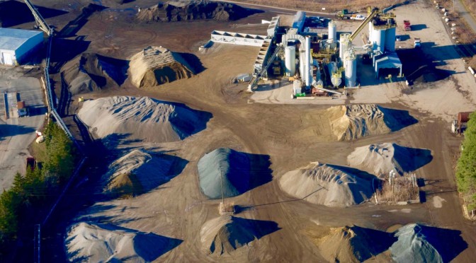
UAVs in Aggregates & Mining Part 2: Increasing Accuracy, Affordability, Safety and Speed
In Part 1 of our interview, Michael Singer, CEO of DroneView Technologies, talked through how drones have and will change volumetric measurement of stockpiles in the aggregates and mining industries. Michael also mentioned how UAVs can make things faster, cheaper, safer and more efficient for a project and even an entire organization, and now we’re going to…
-
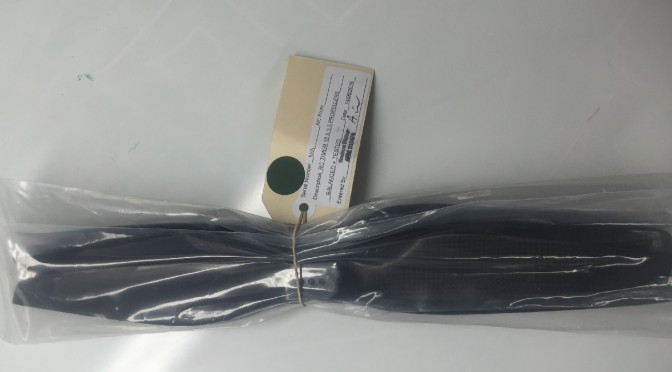
Certified RPAS Parts for Airworthiness Standards
Commercial operators of unmanned aircraft should only fly RPA with certified parts to minimise the chance of structural failure. In a further move to replicate the proven maintenance methods used in the manned aircraft sector, V-TOL only uses and supplies parts that have been inspected and tested by its team of aeronautical engineers. AUSA has…
-
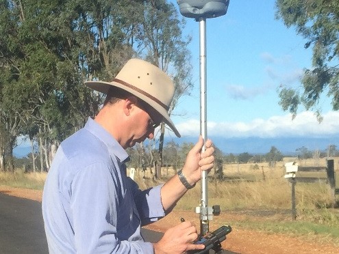
Provision of Survey Grade Hi-Resolution Airborne Services
As an RPAS Flight Services supplier of hi-resolution spatial data with the ability to generate “value added” geospatial products, V-TOL now produces survey grade products using its GosHawk (Fixed Wing) and Hornet (Multi-Rotor) RPAS products. AUSA now works with Krome Consulting to deliver the knowledge into the market to generate hi-grade products that can be…